Volcano UAV Exploration: Drone Captures Footage from Erupting Volcano, Leaked Details Suggest Upcoming DJI Mini 5 Pro, and Additional Developments!
In the thrilling world of drone technology, these flying machines are making a significant impact, particularly in areas prone to natural disasters. From volcanic eruptions to flooding, drones are extending observational capabilities and enhancing safety for researchers and first responders alike.
Recently, a FPV (First-Person View) pilot kept his cool as his drone navigated close to the brink of destruction during an eruption. The footage captured the volcano's raw power, with rocks crashing around the drone, adding to the sense of danger. Drones like this one are used primarily in volcanic eruption research to gather aerial data and real-time measurements that are difficult or dangerous for humans to obtain. They can carry various sensors to monitor gas concentrations, temperature, and other environmental parameters, providing crucial information on volcanic activity.
Tethered drones, equipped with fiber-optic cables, are particularly useful in such hazardous environments. They provide stable data flow and live video without wireless interference, enabling remote monitoring while keeping the drone connected securely. This minimizes the risk of losing control or video feed in challenging environments like volcanic plumes.
Safety measures are a top priority when filming or operating drones near volcanic eruptions. Regulatory and operational precautions require adherence to airspace regulations to avoid interfering with emergency operations or manned aircraft. Trained pilots and proper permissions are essential. Additionally, computational modeling is used to optimize sensor placement on drones to ensure accurate measurements and compensate for disturbances from drone propellers, enhancing data reliability.
Drones also play a crucial role in disaster response. During the recent flooding in Texas, they provided real-time video to incident command, helped prevent airspace conflicts among multiple agencies, and assisted swift-water rescue teams. In San Angelo, a drone pilot delivered a life jacket to a stranded woman and provided visual support until first responders could save her.
The Texas Parks and Wildlife Department also used drones during the flooding to support rescue efforts. In a separate study, researchers from the University of Florida used drones to count over 41,000 giant South American river turtles nesting on the Guaporé River, findings that highlight the promise of drone data and the importance of accurate wildlife monitoring for threatened species.
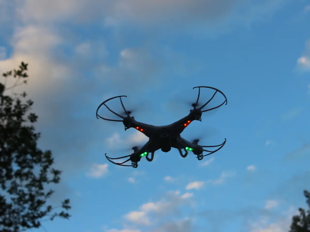
In the realm of drone technology, the DJI Mini 5 Pro is causing quite a stir. Expected to feature a 1'' sensor, 4K/120fps video, a 48mm telephoto mode, and omnidirectional LiDAR obstacle sensing, this new drone promises to be a game-changer. However, speculation about its weight persists, as the typical "under 249g" label is absent from the box. The flight time for the DJI Mini 5 Pro is expected to be 36 minutes, an increase from the Mini 4 Pro's 34 minutes.
In conclusion, drones are revolutionizing various fields, from volcanic research to disaster response. With tethered and sensor-optimized systems combined with strict operational safety protocols, they are safely extending observational capabilities, minimizing risk, and saving lives.
References:
- DroneLife
- Commercial UAV News
- The FPV pilot's cool demeanor was evident as he managed his drone during the volcanic eruption, demonstrating the educational potential of drone technology in capturing raw, aerial footage of natural disasters.
- In the realm of education, the University of Florida utilized drones to count over 41,000 giant South American river turtles, underscoring the value of such technology in accurately monitoring threatened species and advancing research efforts.
- As the DJI Mini 5 Pro, featuring improvements in sensor technology, video capabilities, and LiDAR obstacle sensing, prepares to hit the market, the pilot community eagerly anticipates its potential impact on flight technology.


