Assessing the Trial Run of Remote Sensing Toolkit in the Cross-Border Ma and Neun/Ca River Basins (August 12, 2025)
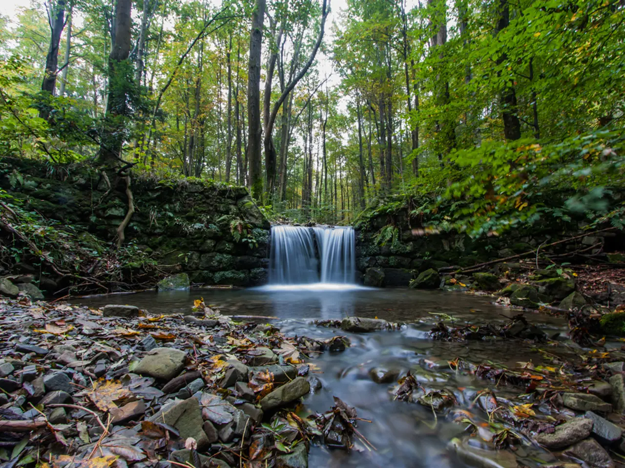
In a collaborative effort, researchers, local communities, and experts are working together to monitor and analyse land cover changes over time in the Ma and Neun/Ca river basins. This study aims to identify the key factors driving these changes, with a particular focus on mountainous areas.
Data Collection and Remote Sensing
Utilising satellite imagery, aerial photos, or drone data, the team is detecting land cover changes such as deforestation, urban expansion, agricultural shifts, and natural vegetation dynamics.
Field Surveys and Collaborative Input
Engaging local communities, authorities, and experts, qualitative and quantitative data is collected to validate remote sensing findings and gain insights into socio-economic factors driving land cover changes.
Analysis of Drivers
By identifying natural (e.g., slope, soil type, climate variability) and anthropogenic drivers (e.g., logging, mining, agriculture, policy, population pressure), the research team aims to understand the causes behind the detected land cover changes.
Modeling and Scenario Development
Predicting future land cover trends under different development or conservation scenarios supports sustainable land management.
Policy Recommendations
Actionable insights are delivered to guide environmental planning, conservation programs, and sustainable development strategies in the river basin regions.
Why this Research is Important
- Mountain ecosystems are fragile and crucial for biodiversity and providing ecosystem services like water supply.
- Understanding land cover dynamics helps in managing natural resources efficiently.
- Insight into drivers informs policy and conservation efforts to prevent land degradation, biodiversity loss, and to mitigate climate change impacts.
- Collaboration ensures inclusivity and better stakeholder engagement for sustainable land governance.
During a field visit to Song Ma District, Son La Province on 15-17 July 2025, the team focused on detecting agricultural expansion, transition from annual to perennial crops and agroforestry, and canopy cover recovery through natural regeneration or agroforestry development. The continued cultivation of corn and cassava on steep hillsides was identified as a significant driver of land cover change in the district. The cultivation of longan or coffee as alternative agricultural practices is a potential solution to the land cover changes in Song Ma District.
- Drawing from the fields of environmental-science, space-and-technology, the research team utilizes satellite imagery, aerial photos, and drone data for analysing land cover changes within the Ma and Neun/Ca river basins, such as agricultural shifts, including the cultivation of longan or coffee as alternatives to problematic crops like corn and cassava.
- Complementing their remote sensing approach, the collaborative effort incorporates field surveys and data collection from local communities, authorities, and experts to validate findings and gain insights into socio-economic drivers impacting land cover changes—illustrated by the example of Song Ma District's continued agricultural practices leading to significant land cover alterations.


)